
Poverty Point, Louisiana is the epitome of “Small Town America”. Built long before there was “America”, in fact long before a time that any of us even know other than through artifacts recovered. Best estimates are this area was first inhabited between 1600 B.C. and 1100 B.C. At one time it may have been home to 6,000 Natives, known as “hunters and gatherers”. Based on it’s ridged “c-shaped” area and subsequent findings, it has been compared to Stonehenge.
Poverty Point is located in Northern Louisiana, along Bayou Macon in West Carroll Parish and is accessible from LA Hwy. 577. You can walk the site and tour on your own, or take a cart with a guide who will explain the site and history.
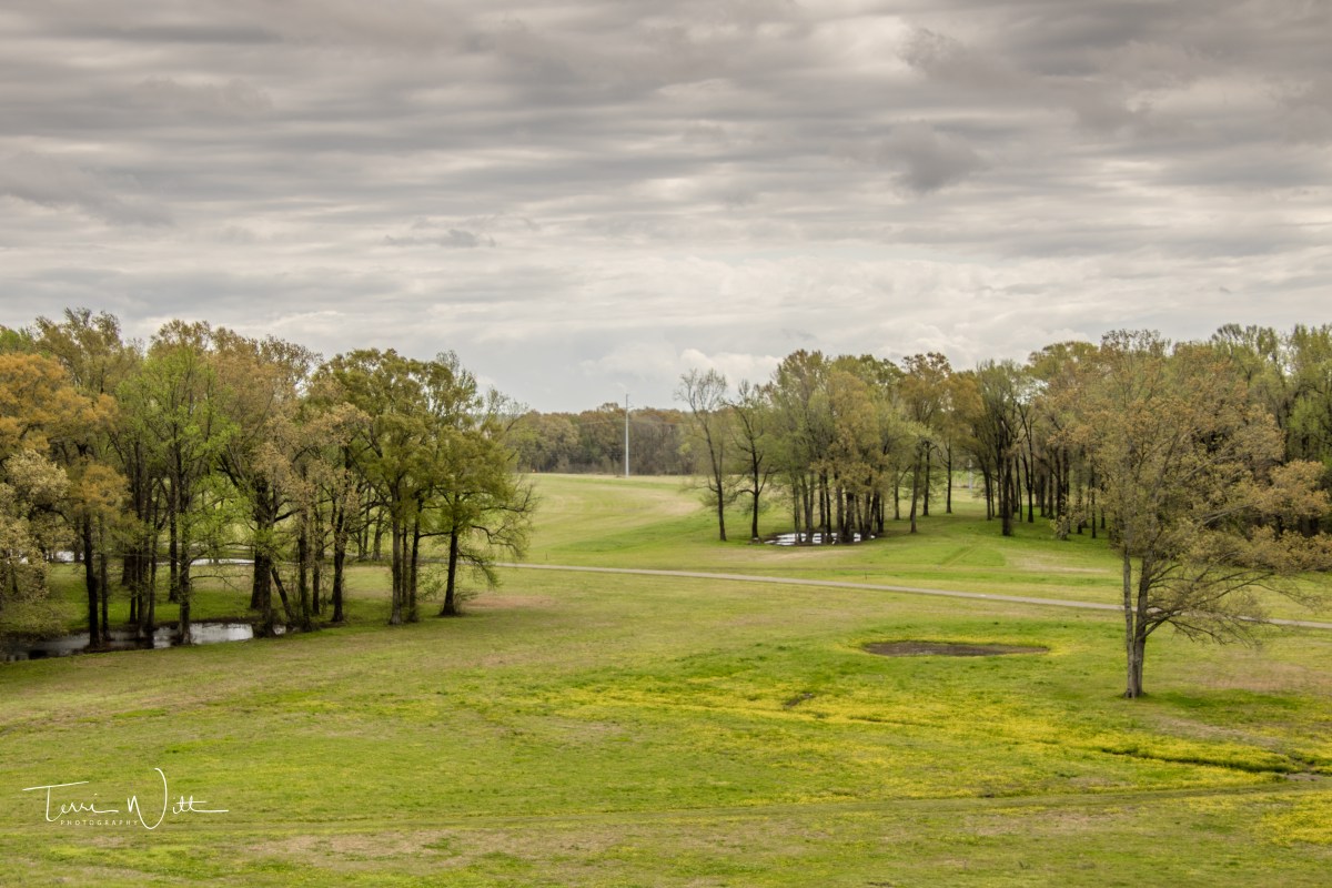
We decided to walk the site and the magnitude of what was accomplished by persons who used simply their hands, primitive tools and most likely baskets and skin containers, to build mounds and half-circles, is simply astounding.

A few of these “friendly faces” greeted us as we walked the Poverty Point grounds.
Poverty Point was vacated for unknown reasons, in approximately 1100 B.C. and again inhabited in approximately 700 A.D., for a short time. The second known group added another mound to the site. Vacated again it is suspected to not be inhabited again until the Europeans settled in the 1800’s.
The area became the home of Motley Plantation and most likely a time when “Poverty Point” got the name it is known by today. Excerpt from the “Louisiana Historical Quarterly”; Winter 1971 issue:
“About 110 years ago, when the land was being cultivated, farmers faced a serious of hard winters and crop failures. A Government boat would come up Bayou Macon bringing food and supplies when necessary and would stop at Poverty Point Landing. Because of the state of poverty which existed among the farmers for several years, and because the rescue provisions were dropped off there, the site became known as Poverty Point.”
Clarence Vance, a Shreveport Attorney
The interest as an Archeological and preservation site did not come until 1953, when aerial photos were taken and Dr. James A. Ford of the American Museum of Natural History recognized the ridges and arrangements stating, “Poverty Point is in every way one of the most remarkable sites in the Americas. I’ve done lots of digging in many unusual places throughout the Western Hemisphere, but this is undoubtedly the earliest site yet discovered, and is the most interesting and complex in this country.”
The story of Poverty Point, her inhabitants and history is more than I can fill in a single blog. You won’t just stumble on the area, it is a destination – but a destination worth putting on a travel list.
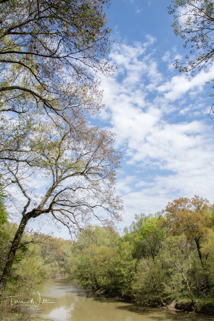
Bayou Macon 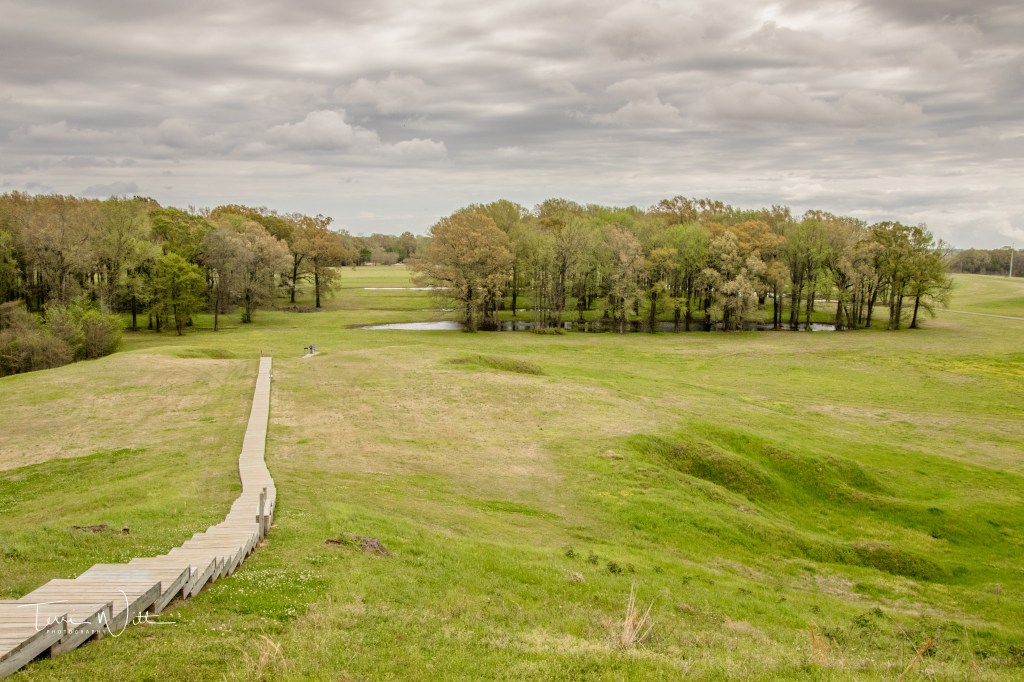
View from Mound A, about 72-feet above area land surface 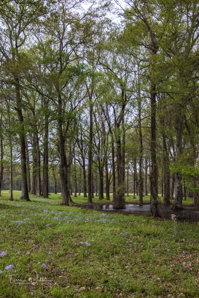
The ridges among the trees
Additional references and information taken from:
Louisiana Historical Quarterly, Winter 1971 edition.
Additional photos can be viewed at https://www.terriwittphotography.com/Poverty-Point/ Photos are owned by Terri Witt and can only be used with permission.
